Hi all,
I've searched the forum for anything on mars and its topography but couldn't find anything.
So my question is, do you think we'll see realistic topology for Mars, the Moon, all other planets and moons in our solar system for which there is such data?
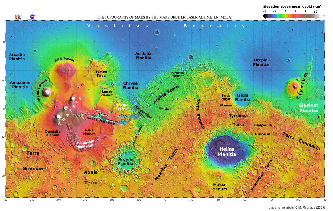
It would be amazing to fly over say Olympus Mons (22 km), or the Hellas crater (4 km deep and 2000 km across)
Some nice images:
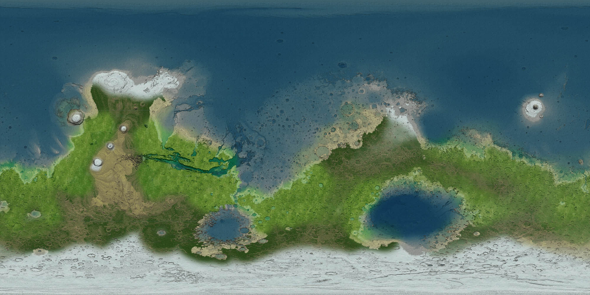
http://master-zoro.blogspot.be/2011/05/most-beautiful-mysterious-and.html
http://www.techedon.com/wp-content/themes/striking/cache/images/5267_NASA_Olympus-Mons-Olimpa_mars-625x469.jpg
I've searched the forum for anything on mars and its topography but couldn't find anything.
So my question is, do you think we'll see realistic topology for Mars, the Moon, all other planets and moons in our solar system for which there is such data?
It would be amazing to fly over say Olympus Mons (22 km), or the Hellas crater (4 km deep and 2000 km across)
Some nice images:
http://master-zoro.blogspot.be/2011/05/most-beautiful-mysterious-and.html
http://www.techedon.com/wp-content/themes/striking/cache/images/5267_NASA_Olympus-Mons-Olimpa_mars-625x469.jpg
")