Alien archeology and other mysteries: Thread 9 - The Canonn

Status
Thread Closed: Not open for further replies.
Col 70 Sector FY-N C21-3 is not Miackce. It is not even anywhere near. In the old FFE aka Elite3 Galactic co-ordinate system, where all stars in the Galaxy are more or less in the same plane and the Y-axis runs directly north through Polaris, Polaris was 0,76 and Miackce was 37,144. That places Miackce somewhere beyond the general direction of Polaris from Sol. Col 70 Sector FY-N C21-3 is in the opposite direction to Polaris from Sol. What is more Col 70 Sector FY-N C21-3 is a T Tauri star, whilst Miackce was a Type K orange star.

I wonder where you come by your information?

If anyone thinks they have found Miackce, last I heard more than 20 years ago now the system configuration was as follows:

Miackce - Type K orange star
Miackce 1 - Pink/orange world with brownish atmosphere
???? - Thargoid station
???? - Thargoid shuttle
Miackce 1a - Oblate rock
Miackce 2 - Brown rocky planet
Miackce 3 - Orange/brown gas giant
Miackce 3a - Brown rocky world
Miackce 3b - Brown rocky world
Miackce 3c - Brown rocky world
Miackce 4 - Brown rocky planet
Miackce 5 - Orange/brown gas giant
Miackce 5a - Brown rocky world
Miackce 5b - Brown rocky world

I've worked out some co-ordinates of my own, assuming that the FFE co-ordinates for Polaris and Miackce are accurate even though the distance of Sol-Polaris is given as 607.06 L-y in FFE, instead of 432.58 L-y in ED. And assuming that Miackce is in the same plane as Sol-Polaris-Sag A, just as it was in FFE. I'll be looking for an orange star system of the above configuration in the region, then search down towards the Galactic equatorial plane.

But first I want a cargo Inventory and complete list of Sub-Targets for the Unknown vessel hyperdicting Commanders in the Pleiades/Aries Dark Region Sectors. No one else encountered by the Unknown vessel seems to have thought to acquire such information during the encounter.

I attempted a similar exercise some time last year. You have highlighted the main obstacles:

1. Different representation of distance between Sol and Polaris
2. FFE galaxy model is pretty much a flat disc with a comparatively small variance in off plane distances
3. Assumption that Miacke exists in ED and has the same make up of planets/moons as in FFE

In spite of this I attempted a conversion from the FE2 -> ED coords and searched K star systems in the candidate area ... I didn't find a system that looked like a match. But given the variance in the galaxy models I couldn't claim my candidate area was any more legit than pin sticking. At the end of the day it gave me a good excuse to try out the explorer fit in my newly purchased Asp.
 
Well, if the layout is a map then swapping the old for another site's layout would just give us the map for how to find this place, but we already know where it is & need to find the other two sites. So that must be the reason for the layout changes-it's to indicate one or more of the other Guardian sites (remember Homeworld plus 3 arc ship destinations).

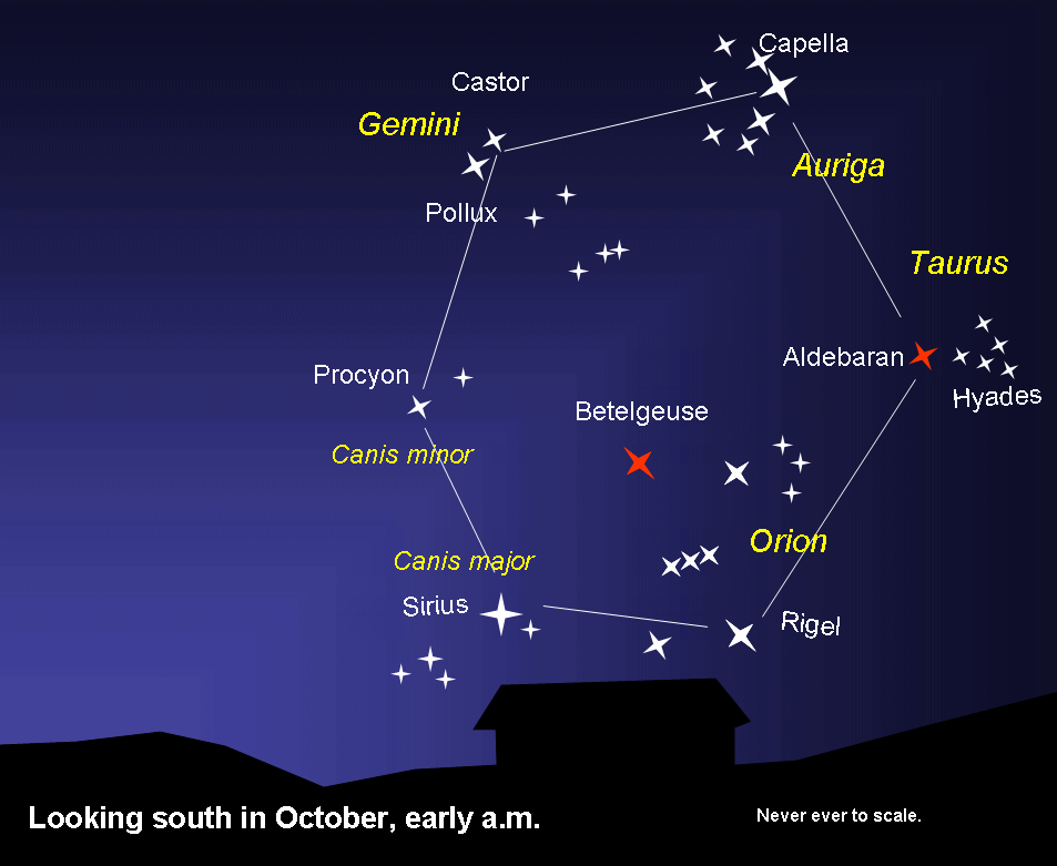
It is a good idea about the object layouts being meaningful, rather than the walls of the ruin, but can't imagine it's to do with straightforward star positions as that will be really difficult to match against a 400 million set of stars & suspicious of a constellation layout since they change as you move around the galaxy. Might be a set of notable skymarks such as neutron stars (like Voyager disc had pulsar locations & the angles between them to locate Sol)?

I like the idea of using sun/moon to indicate things, but I also recollect a recent post that showed California & Pleidaes nebulae & Andromeda galaxy forming a right angled triangle in the sky above the ruins. This seems suggestive since the Guardians were keen on geometry. I suspect California & Pleiades nebulae are the areas to search for more ruins (I have posted a suggestion many times that there is more to discover about Merope/Merope 5C since it is of great importance to the UAs/UPs).

Since the ark ships were using slower than light travel as stated in Ram Tahs message we can narrow down the search to X light years from here.

I'm thinking probably less than 20 but would recommend 40 to be safe. Still a lot of stars to check though so anything that narrows that down helps.

Note that this is a communication layout and I think the planets rotation and orbit are odd. It isn't still but it's orbit almost seems locked if not really slow relative to the galaxy itself. So scanning and identifying landable planets with such odd orbits may be a good start.

I use EDSM and I know you can view system details. But is there any kind of export that includes the system bodies?
 
Last edited:
Just a bit of tinfoiling from the Discord, and thought I'd post it here as well.

First off, a lot of people have been talking about the "whale" symbol inside the archways(?, clamps?, what do we call them?), and posted pictures of it like the one below:

Barring pareidolia, it really looks like the beacon with the relic emminating some sort of light to me. Ram Tah also speaks of giant shields protecting their settlements/habitats, and this looks like a depiction of that. So to me, it seems that the beacons in conjunction with the clamps once created a protective shield above this site. Some of the clamps have since toppled over and perhaps the powersource isn't there anymore, which is why it's gone.
A couple of anomalies include the beacon outside the walls of the ruins, but then the "old" ruins had a couple of obelisk formations outside there as well. Also, the circular pads are halfway outside the walls, so if the shields only extended to the walls, half of those would be outside a shield as well.
Either way, that picture does look exactly like the beacon.

--------------

Secondly, someone posted a timelapse of the Pole Star here. I have been looking for that, so thank you very much!
I don't believe there is anything to be found in that system. If, however, the site is a map or otherwise has relevance to the universe surrounding it, that star is the most important part. It is the only part of the sky that doesn't move, and therefore the most obvious anchor point to use for everything else.
How it is used is not clear to me, as I need to look at the sky in relation to the ruins a lot more, but it's a direction to follow atleast.

Back to your regularly scheduled viewing.

EDIT: Removed Ninja'd stuff

If you have a look back a few pages myself and hayler were discussing it, hayler has been to the system in question, post number #14773 on page 985 hayler put a screen shot of the system and its got nothing in it, but it would be a very good reference point , i have been thinking upon it myself over the last day or so.
 
I think all the known beacons mysteries have been solved, but more may have been added in 2.2.03.

Another option is the tourist missions. One commander found ancient objects in a blue POI, during one of those.

What we know from the messages we have, is that the monolith network is arranged in a geometrical pattern. This probably means that the distances between the different ruin systems are equal.

That does not help us much, as we only have one point. We may however also have the plane.

As it's called 'the monolith network', we can assume that the monoliths(relic towers) are the active component in the communication.
The towers points straight up. As the planet rotates(in 6.9 days), the towers will draw a circle on the local sky box. Every 6.9 days, they will point at the same star.
This circle forms a plane, where we will probably find more ruin sites.

If we find a second site we can probably calculate where the rest are, by applying geometrical shapes(triangle or hexagon are most likely).

Until we find a second site, this does not help much. If we are lucky, we will find a suspicious system(like Soontil, Achenar, Polaris, Merope or Sol) in this plane. If not, we don't have much.[???]

Excellent point. Any good tools for creating a "copy" of this system and adding disks, lines to identify other systems that may be pointed to?
 
First off, a lot of people have been talking about the "whale" symbol inside the archways(?, clamps?, what do we call them?), and posted pictures of it like the one below:
Ram Tah also speaks of giant shields protecting their settlements/habitats, and this looks like a depiction of that. So to me, it seems that the beacons in conjunction with the clamps once created a protective shield above this site. Some of the clamps have since toppled over and perhaps the powersource isn't there anymore, which is why it's gone.
A couple of anomalies include the beacon outside the walls of the ruins, but then the "old" ruins had a couple of obelisk formations outside there as well. Also, the circular pads are halfway outside the walls, so if the shields only extended to the walls, half of those would be outside a shield as well.
Either way, that picture does look exactly like the beacon.

For me that *whale* is a tree.
City was protected with a protective shield activated via clamps. The network was overcharged and the shield imploded. It was inside job.
No sign of outside attack. Hexagonal shape of the walls is a clever visual diversion from FD. Very ingenious.

Edit: from architectural point of view could be logical they used old observatories to build walls between them... And the attack... Outside nav beacon was maybe used to penetrate inside the network to overload it.

Dam RL.
 
Last edited:
there is any new obelisk data ?

Everything at this site has been solved, except 3 Tech Entries: https://docs.google.com/spreadsheet...57nTBtDqRan41SZKpppJrmwA3c/edit#gid=208480479

We just don't know how to turn on these obelisks reliably.

Also I think these are all the item combinations, they follow the algorithm I mentioned earlier:

9rrR5gy.png
 
Last edited:
Right commanders, since some of us expressed interest, I have recreated the Synuefe system in Space Engine based on data from in-game system browser and eddb, for the purposes of studying the movements of S. 1 and 1 B with its moon 1 B A.

zRCQ4sa.jpg

Some immediate conclusions, apologies for sounding a bit convoluted, I lack the specialized terminology (english not being my primary language)

- there is no constant point at the horizon of 1 B at which the moon (1 B A) sets and rises - in plain words, if you remain stationary for a few cycles, you'll notice that the said point (is there a word for it?) shifts "to the side" with each full cycle and after some time it travels in the opposite direction - think sun and earth with seasonal shiftings of sunrise and sunset due to axial inclination and orbital traverse - this profoundly affects the theories which concentrate on the moon's alignment with the structures at the site

- the moon isn't really tidally locked since the visible features of its surface constantly change (as evidenced earlier in my posts)

I don't feel like recording and uploading a video (poor upload speed), so if you want to verify my claims and are familiar with Space Engine I can provide the SE script for it.
 
Last edited:

Arguendo

Volunteer Moderator
If you have a look back a few pages myself and hayler were discussing it, hayler has been to the system in question, post number #14773 on page 985 hayler put a screen shot of the system and its got nothing in it, but it would be a very good reference point , i have been thinking upon it myself over the last day or so.
Like I said, I don't think the Polar Star contains anything. It should however be a reference point for anything the ruins may try to depict, which may again lead to some other system with...who knows what.
 
Just out of interest - how long did it take?

a 3-4 of hours scanning for the standard 13 set (without knowing combos! now it should be real fast) and then a couple of hours a day with elite alt-tabbed parked with passive scanning and sometimes to check missing obelisks.

So... it's possible to brute force without any special effort, we only have know the other 2 sites.
 
Well, im at Felice dock, looking to hand this in (I have a theory that if enough people hand them in, Ram Tah will reveal more... bit like a community goal that we cant see progress on).
There is no option to turn it in though, nothing on the mission board, the contract just has Abandon on it.... so guess the option to hand it in has gone!! or am i just missing it?
 
Alright, the E-cluster is pretty much confirmed to be like this:

http://i.imgur.com/wMcpEQb.jpg
Hello CMDR allocater,

thanks for this information.
I've updated my map set on Imgur - Map Set by Rabbit-HH

I've continued using cluster H but with "old" numbering of cluster E:


I also think we will get some similar results for the other clusters and the zones fisrt discoverd by CMDR Zenith Ddraiglas are only valid for the first 15 "default" obelisks (in SOLO-mode).
There will come a bunch of work to me when you will discover the next clusters, i think ;)
 
Last edited:
Status
Thread Closed: Not open for further replies.
Back
Top Bottom