That won't solve the problem. Currently planetary exploration is heavily discouraged by the fact, that player is very unlikely find anything at all on planet but a same boring craters and uneven ground of sandy colour, not to mention something interesting or unique. If we simply add scanner, that scans, lets say in 10 or even 100 km radius, how many planets would you be willing to sweep-scan manually before it get old and boring? Then it is back to waiting until something gets announced somewhere and there will be coordinates to fly to. To make planetary exploration both interesting and adequate in terms of time-effort-result ratio, we do need some sort of scanner that will be able to scan entire planet from orbit in one go, and at the very least hint us on whether there is something worth looking for, or we can continue to the next planetoid.
They just cannot offer the required texture resolution at such a long range. 4km at max on a high end machine will allow you to see the ruins. You can go up further but everything drops out of the draw distance. a hazy vague shape at best. That is less resolution than the human eye. So in order to do that a device for scanning for anomolies will need to be created. Nobody said it had to be like an instant honk.
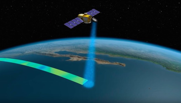
It might require you to drop beacons/satellites at specific points around the planet outside of SC. Then initiate the scan. Either way. Unless the feature/structure is the size of mount Everest we will never be able to see it without being within a few km of it.
") It would be 12 vertices. When I'm searching for comms network candidate systems I'm looking for shapes that tesselate in 2D at the moment.
It would be 12 vertices. When I'm searching for comms network candidate systems I'm looking for shapes that tesselate in 2D at the moment.