So we need a few things from my perspective, and we need to make a few assumptions.
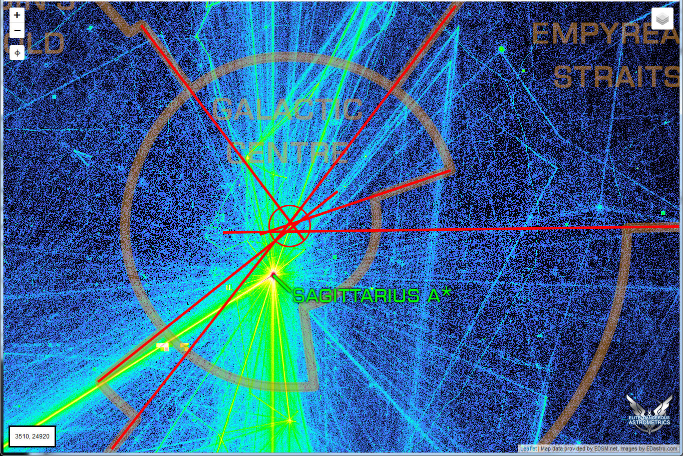
First, we need to start using polar coordinates. In order for this to work the very first thing we need to do is determine the x,z coordinates of the centre point. I had assumed it was going to be Sagittarius A* but from your comments it appears it may not be (though it probably should be).
The second thing we need to do is pick out the coordinates of all the corners of each region. This isn't quite as much work as it may be due to each corner being associated with at least 2, sometimes 4 regions. For each of those coordinates we need distance from the centre point and angle around.
If we refer to the distance from the centrepoint as radius and the angle as azimuth.
After that from my perspective (since there aren't any libraries which deal with polar coordinates and polygons in this manner) the easiest thing to do would be for each region to be converted to multiple (potentially overlapping only within the same region) shapes each with 4 sides (2 curved, 2 straight) denoted by a start and end radius and a start and end azimuth
The reason for that is that is makes the test for whether a point is within a shape particularly easy. I can simply convert the point being tested to polar coordinates, then it's simpy a matter of testing each shape we now have to see if the radius of this point lies between the start and end radius and check the same for the azimuth. If that is the case then the point is in that region. Since we have chosen our shapes so that only points within the same region overlap we can stop looking through. The code for this then becomes pretty trivial.
This all brings us down to the million dollar questions which were the first 2 paragraphs in this post. We may be able to determine the coordinates of the regions by taking a selection of systems on either side of the border and then taking an average.
I will admit I haven't been in game for quite a long time, so I'm not sure how easy that would be (especially if we haven't actually visited those systems and recorded the coordinates on the various developer sites).
One other option would be for someone from frontier to wade in and help out.
WIth regards to the system counts etc, you can see the numbers of systems I have in each region on this URL
https://spansh.co.uk/api/systems/field_values/region .What is interesting there is that my numbers are wildly different to yours, which may mean I have some mapping issues. I should probably plot the coordinates I'm using somewhere to make sure.
 )
)