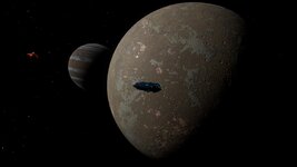
Was it ever clarified that math was the only way Horizons heightmaps are generated?
I can recall way back in the early days of Horizons, maybe in the beta play... But there was a bug where some planets were found to have surface terrain that was formed by the images of NPC characters. From orbit, one could see the NPC faces very plainly shaping in the mountains and such of the planet.
So at some point, it would seem that Horizons certainly was able to use images as heightmaps for planet generation. After seeing that, my own hunch was that image heightmaps were always in the mix, at some level.
Whatever it was to be honest, it was good enough to introduce enough chaos in planets.
There is no chaos in EDO.


