A while ago I'd put in a feature request for just this function inside the "navigation" panel on the left. [Check out my previous post]
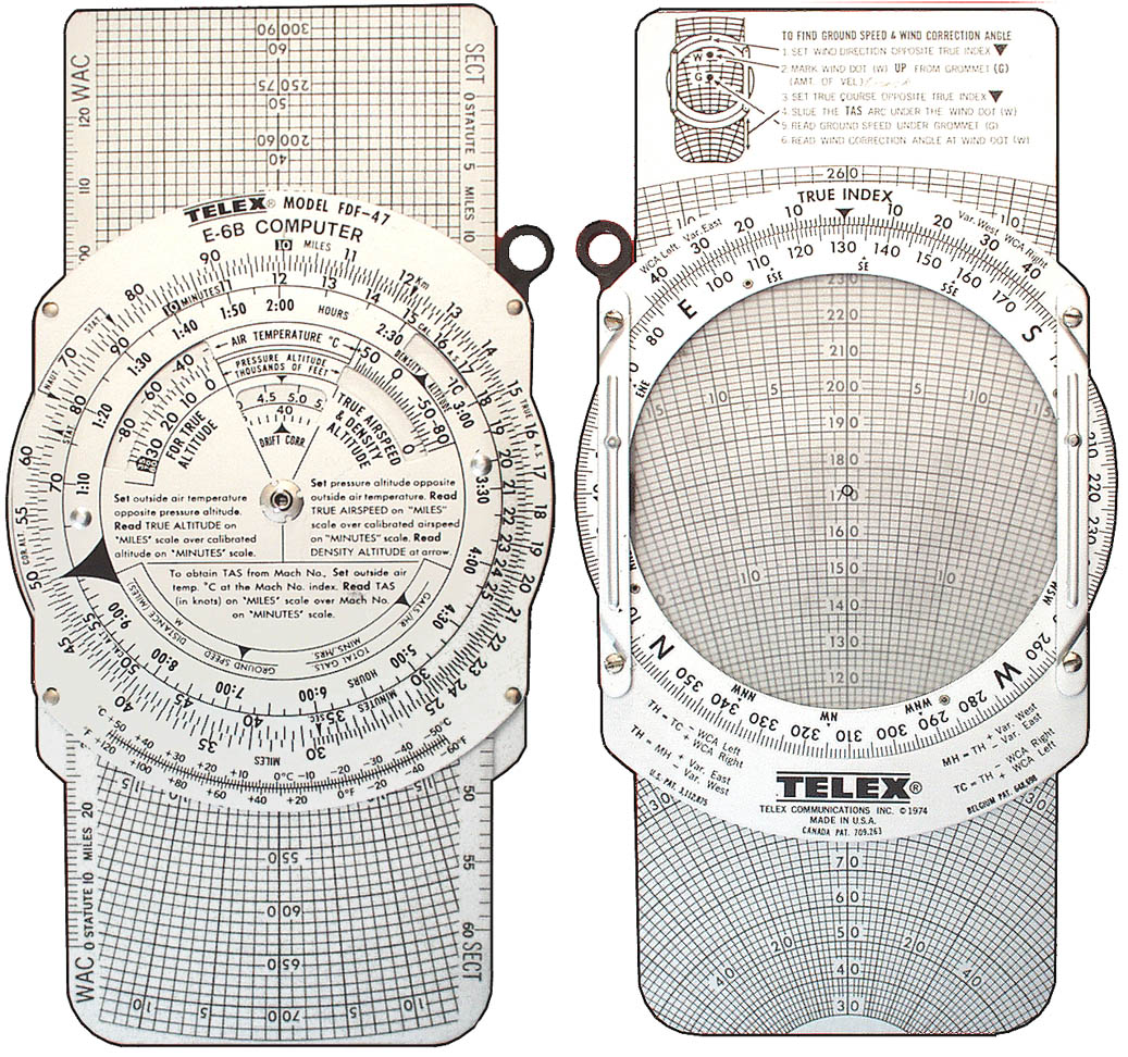
Basically this -> Surface navigation computer.
Input target LAT/LON info and it generates a heading caret on the compass in ship and SRV. Or if still in orbit/glide, it generates a target circle like we currently have for surfaces bases.
Until then. there's this -> http://edbearingcalc.neocities.org/
The advantage of being "built in" is that your present LAN/LON would already be known to the Surface Nav Comp and you'd simply enter your target (where you want to end up) LAT/LON in two fields and a direction caret would appear on your compass indicator. Your vector would also then be updated live. Logical to include a "Distance to waypoint"
Yeah we need something like it.
Also there's this in my app. - without a live update but it is still helpful. :/

And there's also the E.D.I.S.O.N. app which is the live one using OCR from screenshots during the live game.


